
Local Nature Recovery Strategies explained: what England's maps change for planning and biodiversity net gain
Local Nature Recovery Strategies explained: what England's 48 local habitat maps mean for planning, biodiversity net gain and nature recovery.
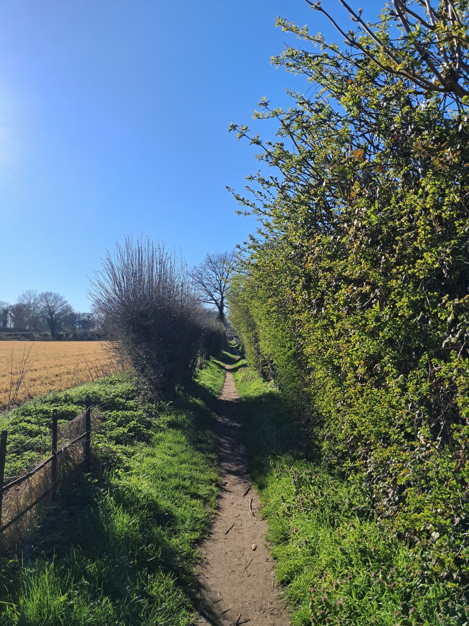
England has 48 Local Nature Recovery Strategy areas. By 26 June 2026, 41 had published their strategy and seven were still in preparation. The documents map where habitat creation and restoration could have the greatest benefit, then connect those priorities to planning and biodiversity net gain. A place appearing on the map does not, by itself, fund or deliver the work.
Open a published Local Nature Recovery Strategy (LNRS) and two parts sit side by side: a written account of local biodiversity priorities and a habitat map. The first explains what the area wants to recover. The second identifies where particular measures, such as wetlands, hedgerows, grasslands or river restoration, could make the strongest contribution.
The map is what gives a broad ambition local consequences. It can inform a council's local plan, affect how habitat is valued in a biodiversity net gain calculation and help land managers or funders see where separate projects could connect. It does not turn every coloured area into a protected site, approve a development or require the landowner to carry out the proposed measure.
England's local nature map is almost complete
The Environment Act 2021 created an England-wide system of 48 strategies with no gaps or overlaps. Each is led by a responsible authority, usually a county council or combined authority, working with local planning authorities, Natural England, landowners, businesses, environmental groups and communities.
The national rollout has taken longer than the government's early timetable. Defra originally anticipated that strategies would be in place by March 2025. Its status list, updated on 26 June 2026, records 41 as published and seven in preparation: South of Tyne and Wear, Tees Valley, South Yorkshire, Greater Lincolnshire, Staffordshire and Stoke-on-Trent, Herefordshire, and West Northamptonshire.
Once a strategy is published, planning and biodiversity rules can refer to a final local map. Publication is not a national restoration total: for the separate measure of recorded work on the ground, Natural England reported 77,638 hectares of wildlife-rich habitat action since January 2023. The strategy map shows where action would help most, while the delivery record shows how much qualifying work has been recorded.
Every strategy has a map and a written set of priorities
Responsible authorities can design their publications differently, but the statutory structure is consistent. The written statement describes the area, identifies priorities and sets out practical measures that could help. The local habitat map records existing areas of particular importance for biodiversity and locations where proposed measures could create or improve habitat.
A proposed measure should be specific enough to connect a place with an action. Worcestershire's published material, for example, ranges from hedgehog routes and wildlife-friendly ponds to traditional orchards and restored river meanders. Other strategies map peatland, woodland, coastal habitat, grassland, hedgerows or urban green infrastructure according to local conditions.
This local variation is deliberate. A wetland in Somerset, a heathland connection in Surrey and a green corridor in London cannot be reduced to one national prescription. The strategies are meant to show how the same national goal translates into different landscapes.
Planning authorities must take the strategies into account
Local planning authorities have a legal duty to have regard to the relevant strategy when preparing local plans. Current planning guidance says they should consider the mapped priorities, decide how those priorities should be reflected in the plan and consider what safeguarding may be appropriate for proposed areas of habitat management, creation or restoration.
A strategy can also provide evidence in an individual planning decision, especially when the existing local plan was written before the strategy appeared. Whether it is a material consideration depends on the proposal and the decision-maker. The map therefore carries more weight than an informal wishlist, but it does not replace the local plan or predetermine a planning application.
Urban climate-adaptation projects show how the map can be used. A council may identify a corridor where trees, rain gardens or restored waterways could reduce heat and surface-water risk as well as support wildlife. Design, land control, funding and maintenance still decide whether the mapped opportunity exists years later.
Biodiversity net gain gives mapped measures financial weight
Most non-exempt development in England must deliver at least 10% biodiversity net gain. Developers calculate the change with the statutory biodiversity metric, which measures habitat type, size, condition and other factors. Significant habitat must then be secured and managed for at least 30 years.
The metric also considers strategic significance. Where a habitat parcel is mapped for a potential measure in a published LNRS, and the proposed intervention is consistent with that measure, it can receive the higher strategic-significance treatment in the calculation. This is intended to favour habitat work in places where it contributes to a wider local network rather than leaving gains scattered without connection.
That does not guarantee a particular price for biodiversity units or make every mapped parcel suitable for sale. The land, habitat proposal, metric calculation, legal agreement, management plan and planning authority's interpretation still matter. It also does not turn biodiversity net gain into a general voluntary nature credit. Our biodiversity credits guide explains why a planning requirement, an off-site biodiversity unit and a voluntary nature claim should not be treated as the same product.
| Reader | What the local strategy can help them check | What it does not settle |
|---|---|---|
| Planning authority | Local priorities, mapped measures, habitat connections and evidence for plans or decisions. | The outcome of every planning application. |
| Developer or ecologist | Whether proposed habitat work aligns with a mapped measure and the biodiversity metric. | Whether the biodiversity gain plan will be approved. |
| Land manager | Where habitat work could join a wider network or support an off-site gain proposal. | Funding, unit demand, legal terms or long-term viability. |
| Public body or funder | Where projects may contribute to local biodiversity priorities and wider environmental goals. | Delivery, value for money or measured ecological improvement. |
| Resident or community group | Which habitats and measures have been prioritised nearby and who leads the strategy. | Public access, landowner consent or a construction timetable. |
Delivery depends on funding and land control
Defra is explicit that no specific proposal in an LNRS has to be carried out simply because it is mapped. Delivery depends on public programmes, biodiversity net gain, farming and land-management payments, local budgets, private finance, voluntary work and the choices of people who control the land.
A map can direct attention and money, but it cannot dig a pond, restore a river, maintain a meadow for 30 years or prove that the intended species have returned. Habitat condition, connectivity and population data have to follow.
Competing land uses can make delivery difficult. A site may be valuable for housing, food production, flood storage, public access and wildlife. A mapped measure helps make the nature case visible earlier, but public bodies and landowners still have to reconcile those uses rather than assuming the colour on the map has resolved them.
How to read the strategy for your area
Start with Defra's responsible-authority list, which links to the local publication and shows whether it is final or still in preparation. On the local site, find the statement of biodiversity priorities and the interactive or downloadable habitat map.
Then check four things:
- The exact measure. A broad priority such as recovering rivers should lead to more specific proposed actions and locations.
- The status of the land. Existing protected habitat, a mapped opportunity and a funded project are different categories.
- The route to delivery. Look for a named public programme, planning mechanism, land-management agreement, biodiversity gain site or project partner.
- The evidence that will follow. A credible project needs a baseline, management period, monitoring method and a way to report what changed.
For residents, a nearby mark on the map shows that an action has been identified as locally valuable. Questions about access, ownership, timing and funding still belong with the responsible authority, planning authority or project lead. For a place-led view of what published maps contain, British Uplift has examined the ponds, hedgerows, orchards and river projects appearing in local nature recovery plans.
Publication begins a longer delivery phase
England has nearly finished deciding where nature recovery would make the strongest contribution, while proof of recovery will depend on the work and monitoring that follow.
The next phase will be visible in local plans, biodiversity gain sites, funding decisions and habitat records. Over time, the better evidence will come from whether mapped opportunities become larger and more connected habitats, whether those habitats remain in good condition, and whether wildlife responds.
The strategies give councils, developers, land managers and communities a common geography. Their value now depends on whether those groups begin making decisions from the same map.
Official sources
- Defra: Local nature recovery strategy areas, responsible authorities and publication status
- Defra: Local nature recovery strategies
- Defra: statutory guidance on what a strategy must include
- GOV.UK planning practice guidance: Natural environment
- GOV.UK: Understanding biodiversity net gain
- GOV.UK: Calculate biodiversity value with the statutory biodiversity metric
- Worcestershire County Council: Local Nature Recovery Strategy launch
- Feature image: English hedgerow path by Jansen Ruddle on Pexels
Data checked
Checked 13 July 2026 against Defra's strategy status list, updated 26 June 2026, current planning practice guidance and biodiversity net gain guidance updated 2 June 2026. The national status was 41 published strategies and seven in preparation. Review when Defra updates the status list, all 48 strategies are published, the statutory biodiversity metric changes or national delivery reporting becomes available.